Travis and I set out for a one night backpacking loop around Marion Lake (Oregon), with beautiful conditions. Our original plan was to hike near Mt Rainier, but the forecast was horrible, so we activated our backup plan: Travis caught a flight (or two) to Portland, and we headed south, racing the weather.
Marion Lake and Mt Jefferson
We set out from the Marion Lake trailhead, and passed a couple of people within the first hour. We did not see anyone else for the remainder of the trip. Our plan was to circumnavigate Marion Lake, and camp at either Jorn Lake or potentially Mowich Lake (which would’ve included a slight detour south off the loop). After passing Lake Ann, we reached the first junction, and decided to go right (on to Marion Lake Outlet Trail #3495), for a counter clockwise trip. Stayed right at the next junction as well (on to Blue Lake Trail #3422). This decision paid off, because the weather was good and the views were amazing.
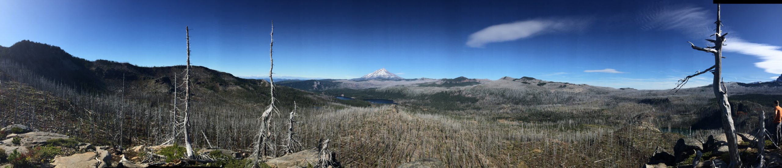
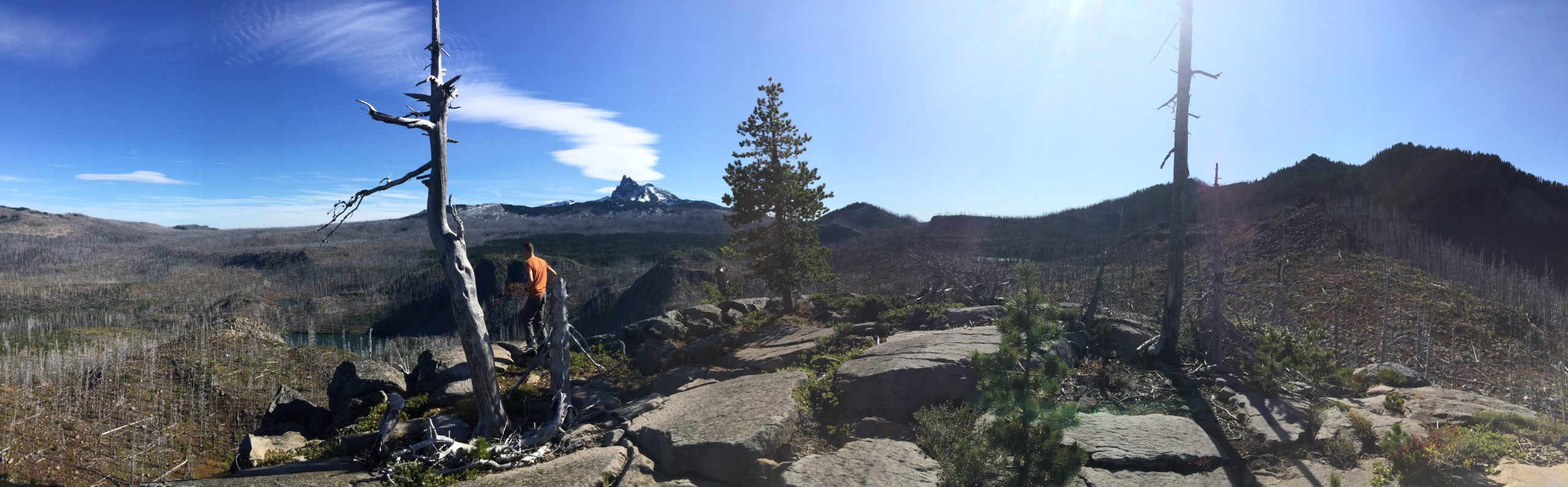
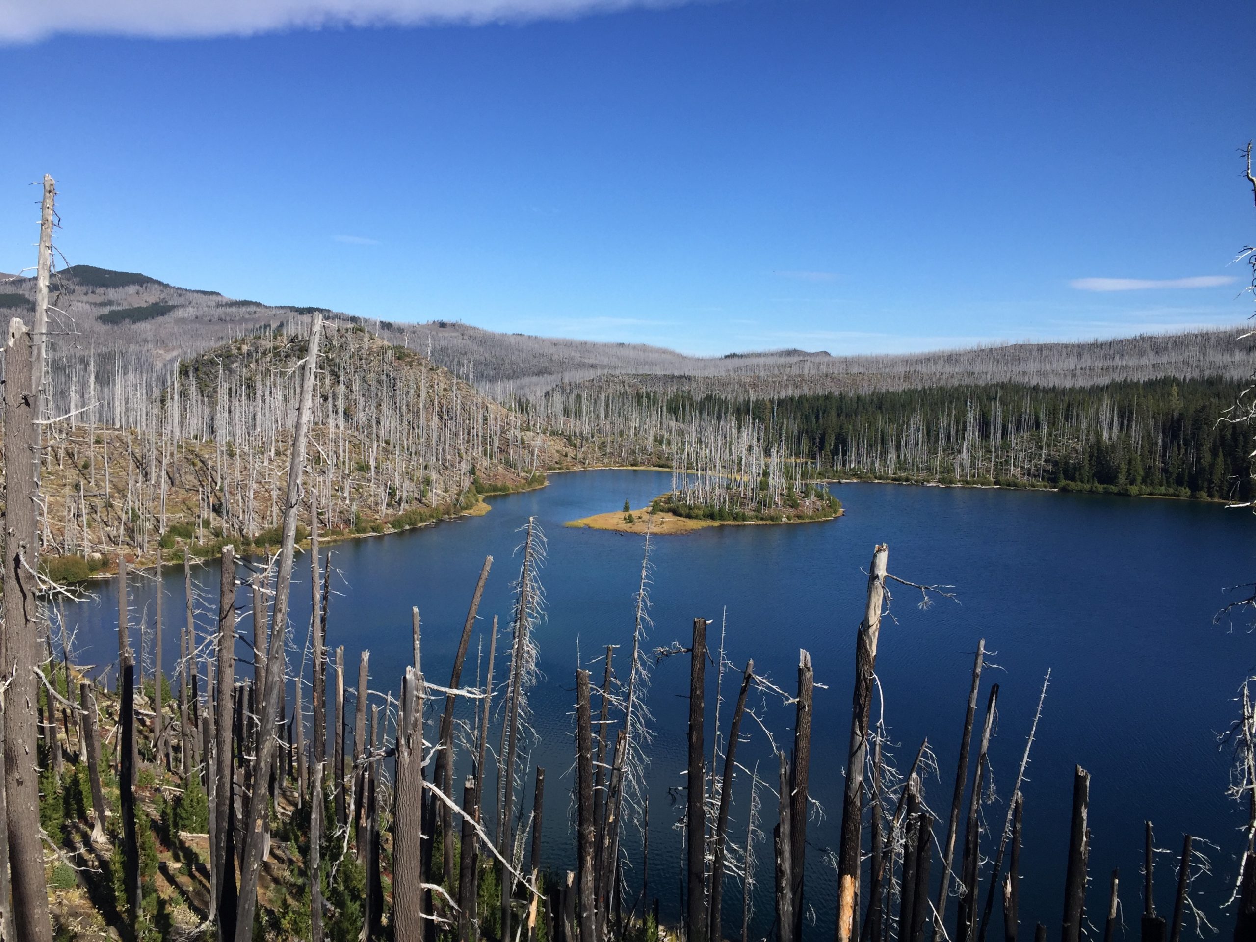
Shortly before reaching Blue Lake, we scrambled up an unnamed peak (informally named “Peak 5433” for the purposes of this post) to check out the view. It was definitely worth it. A 360 degree view, including Mt Jefferson, Marion Lake, and tons of other small lakes. Crazy patchwork of burn zone and forest. This spot would be a cool one night bivi in calm conditions but there is no water, no room for a two person tent, and it’s cliffy.
Three Fingered Jack
Peak 5433
Peak 5433
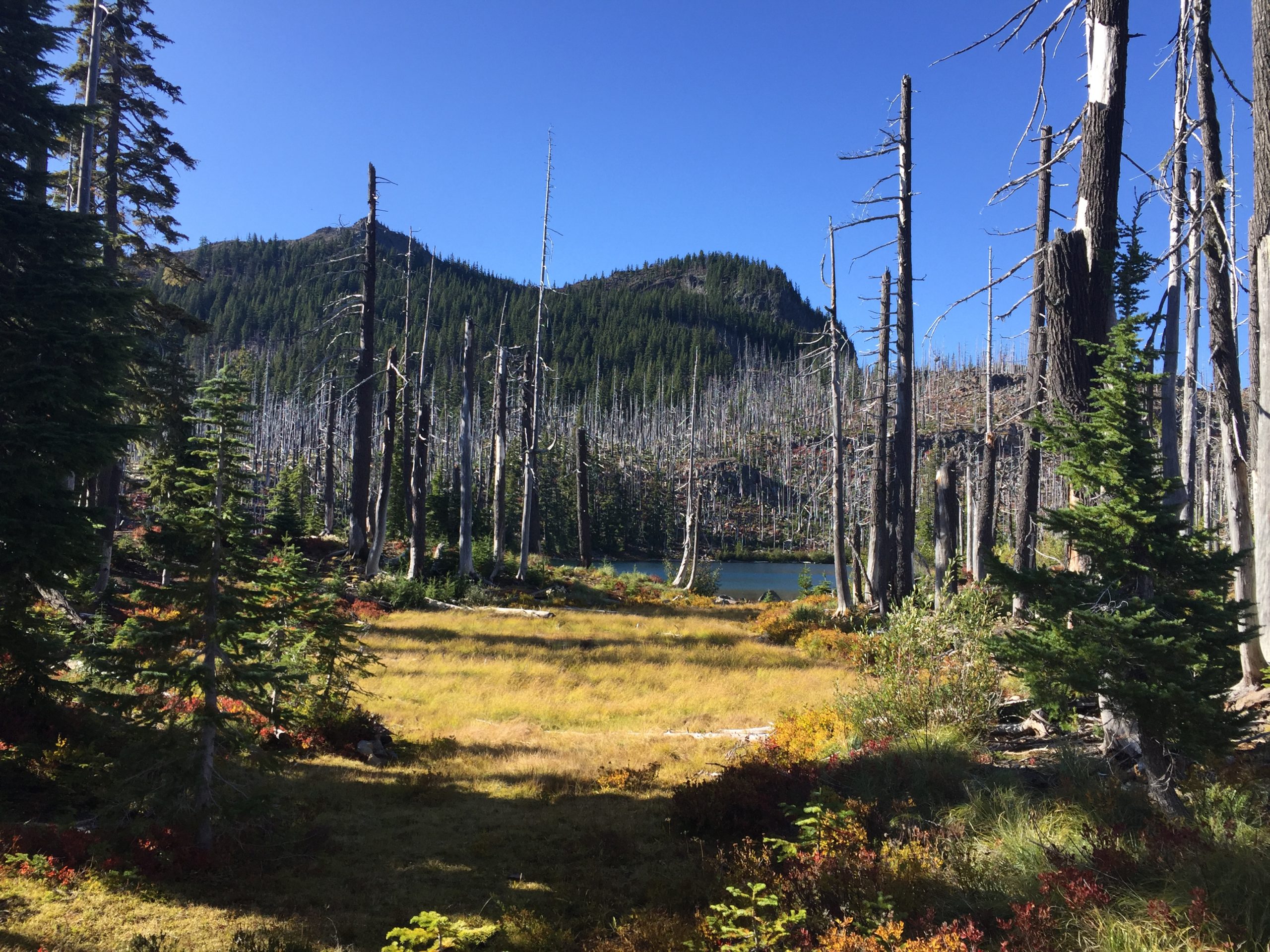
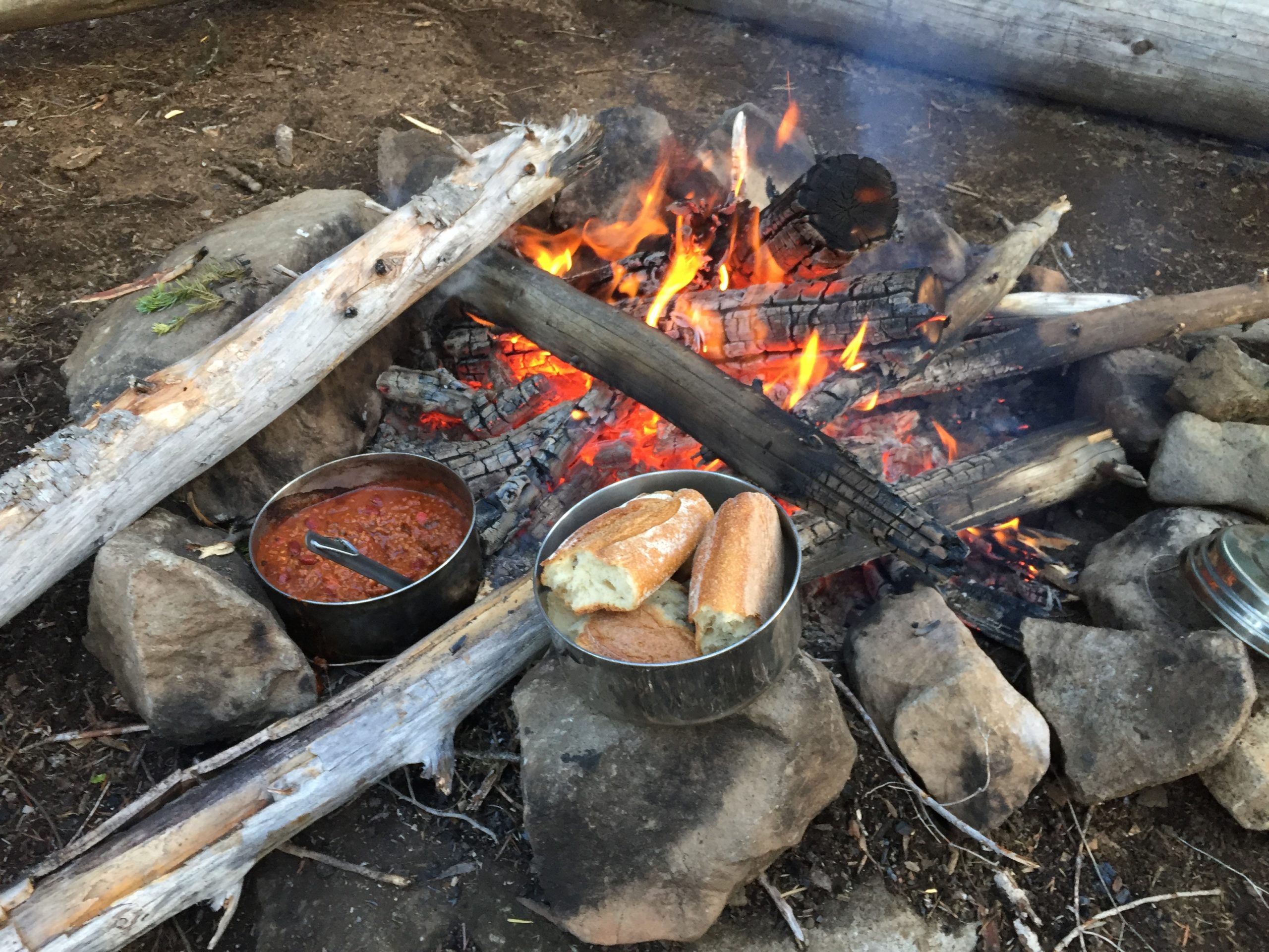
We hiked on to Jorn Lake, where we found a great spot to camp. We cut up a bunch of dead wood (using our folding saws) for our fire and explored around the lake. For dinner, we heated up 5 alarm chili and french bread. It was delicious.
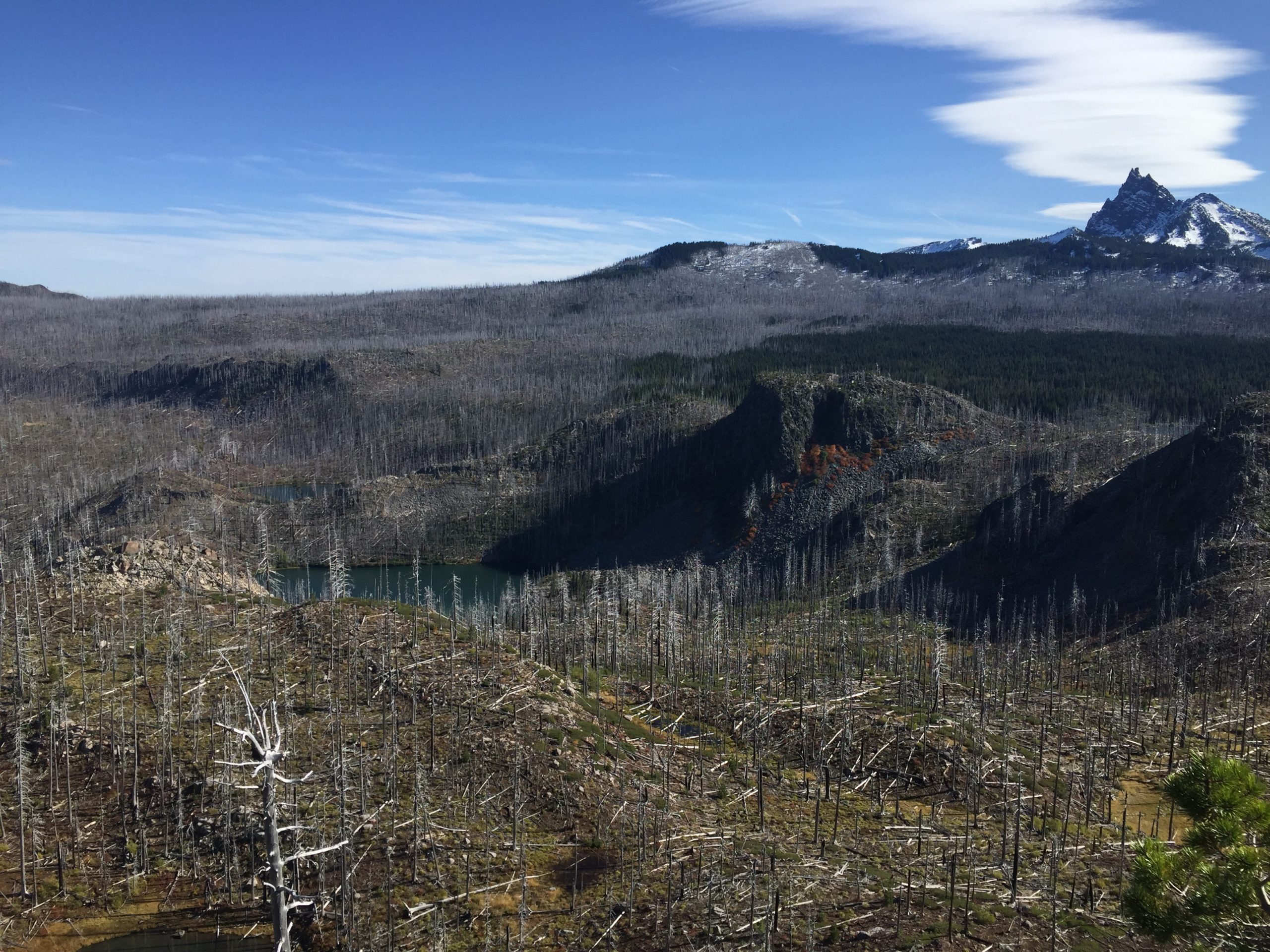
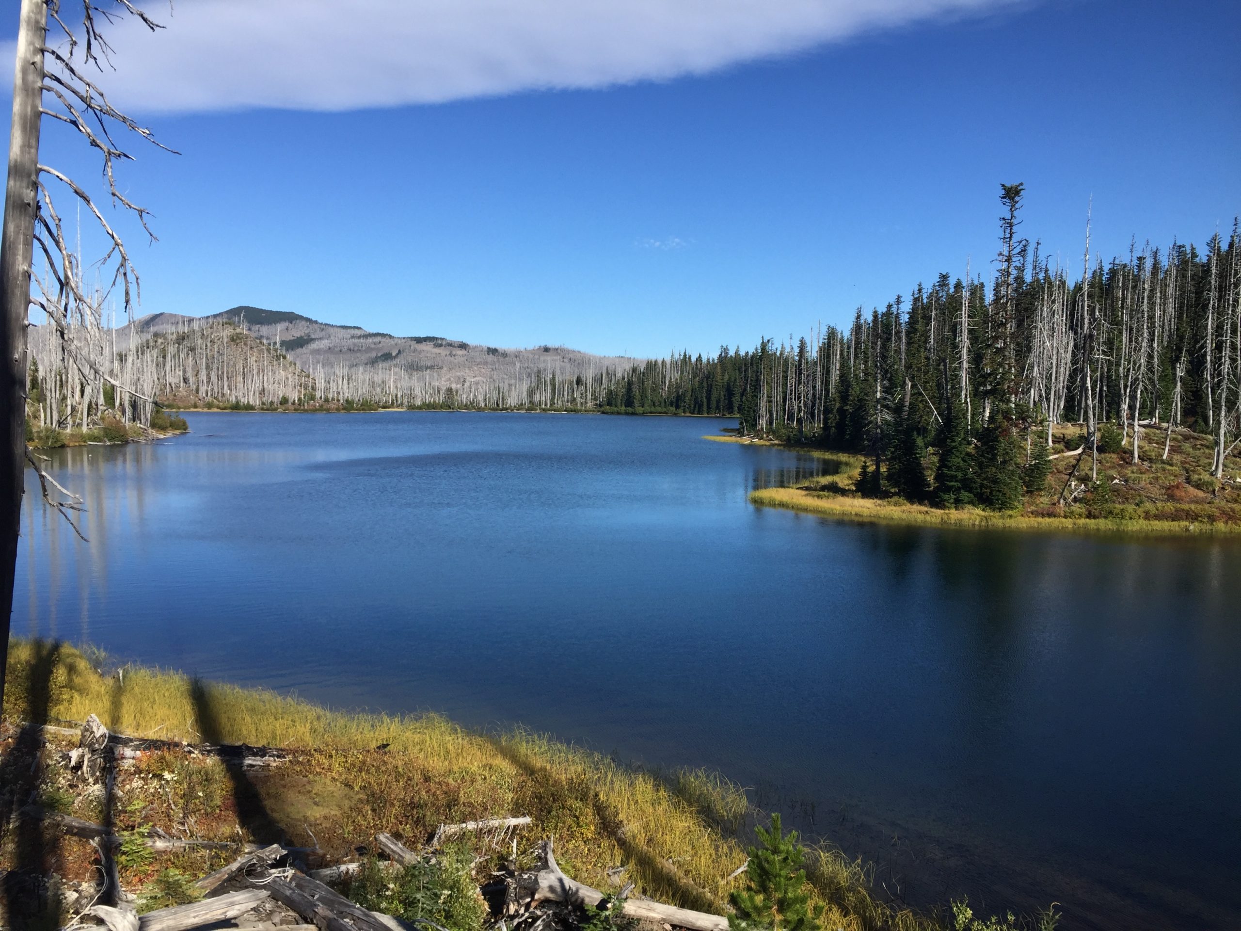
Blue Lake
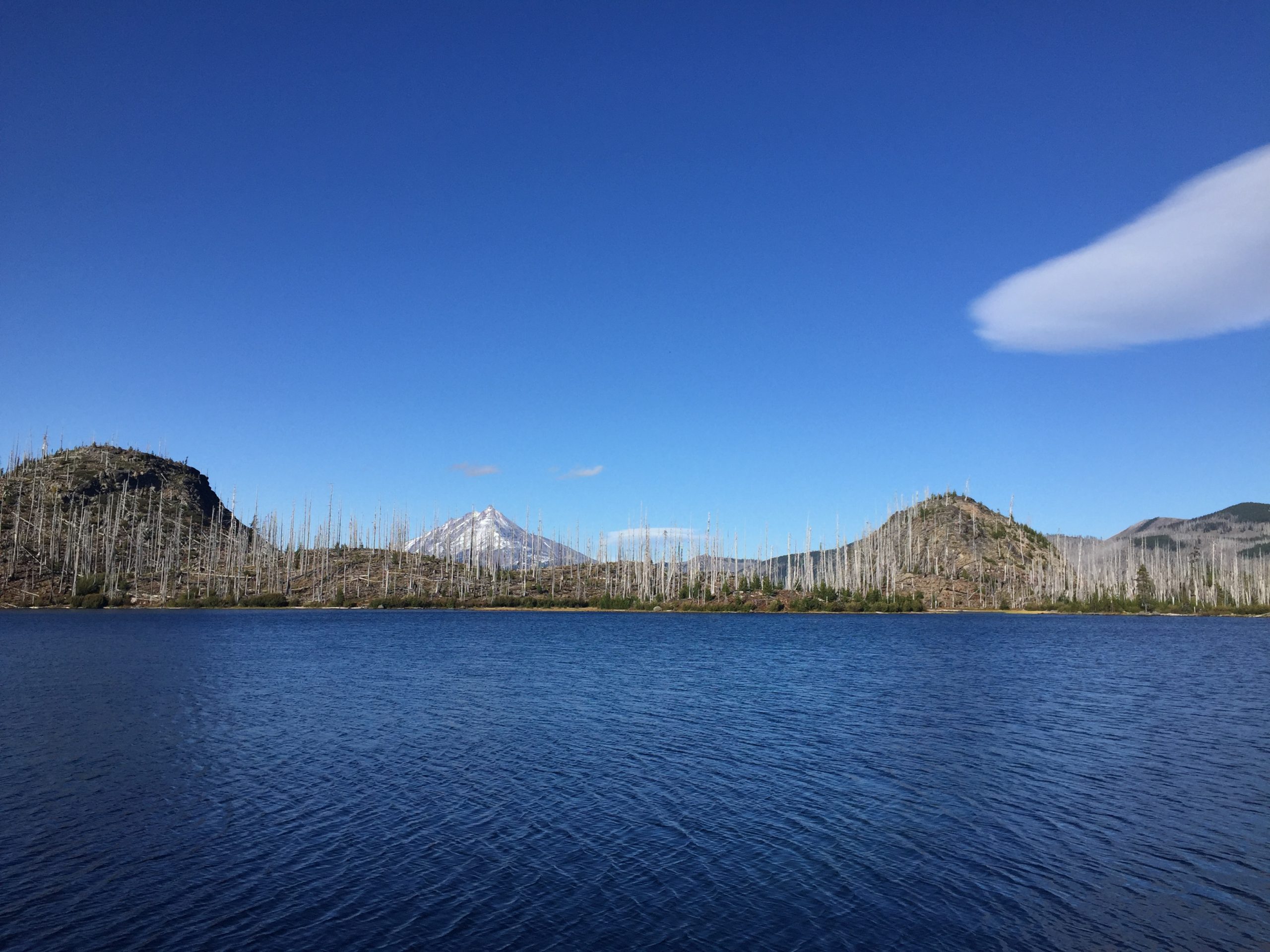
Jorn Lake
Jorn Lake
Jorn Lake - view from campsite
Five alarm chili
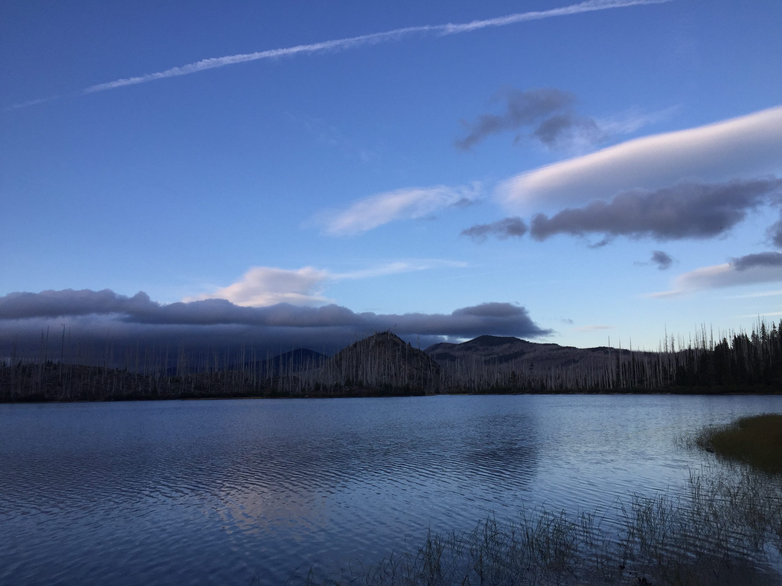
THERE'S A STORM COMING!
It poured rain overnight. My old half dome REI tent kept us dry (I’ve since upgraded to the Big Agnes Copper Spur). We decided to skip breakfast, pack up, and hit the trail. I think, even if the weather had been good, the views would not have been as impressive on day 2. The hike out took us through several more miles of burn zone.
Note: This area now requires a hiking permit from the Forest Service.
Blaze Aftermath
I made a Google Earth 3D fly through of our route – check it out below.